A line of strong and severe thunderstorms moved through North Texas early Wednesday, bringing periods of heavy rain, small hail and strong wind gusts.
This line of thunderstorms included hail up to two inches in diameter and wind gusts up to 70 mph.
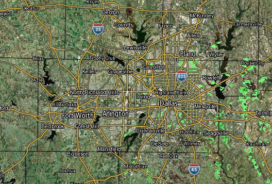 Interactive Radar |  NBC 5 S-Band |  Dallas County |  Tarrant County |
 Collin County |  Denton County | 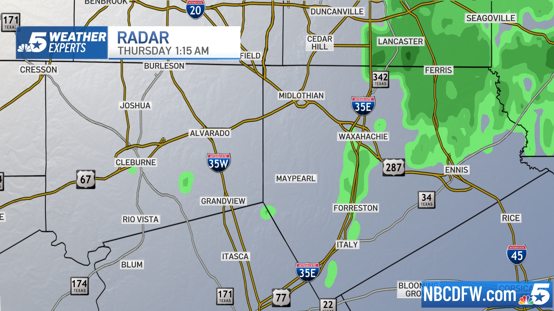 Ellis, Johnson Co. | 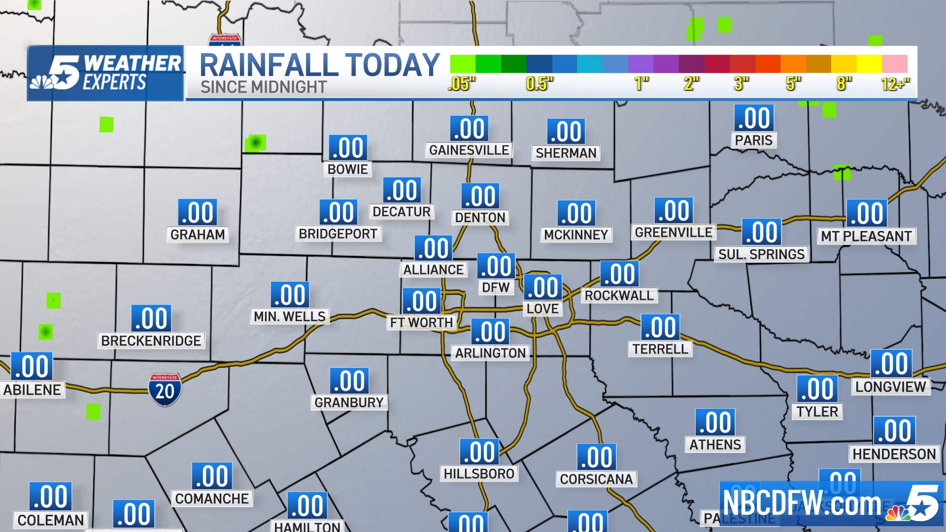 Rainfall Totals |
Minor flooding was reported in Palo Pinto and Cooke counties, and emergency management officials said power was out for residents in Valley View and Pilot Point.
Emergency management in Cooke County reports numerous trees and power lines down near Interstate 35 and Farm-to-Market Road 922 in Valley View. Some of the trees were on homes, while others were blocking roads after wind gusts estimated at 60 mph moved through.
POWER OUTAGES: @oncor reporting 2,700 without power in Dallas Co. 1,100 in Ellis Co. 8,000 without power in Tarrant Co. @NBCDFW
— Katy Blakey (@KatyBlakeyNBC5) April 20, 2016
No injuries have been reported.
Local
The latest news from around North Texas.
After these storms exit North Texas later Wednesday morning, the rest of the day should be calm.
Another batch of thunderstorms will arrive Thursday morning, before sunshine returns Friday and Saturday.
Whenever active weather moves into DFW, you can keep up with it by downloading the NBC DFW APP!
S Band Radar & Maps | Forecast | Weather Alerts
Traffic | Send Us a Photo/Video | Live Cams


