S Band Radar & Maps | Forecast | Weather Alerts
Traffic | Send Us a Photo/Video | Live Cams
The month of May started off quiet in North Texas, but farther north it was off to a rough start as severe thunderstorms containing large hail and tornadoes moved through the Central Plains on Tuesday and Tuesday night.
More than one dozen tornadoes were reported, most of which happened in Kansas.
Farther south, a tornado was reported near Buffalo, Oklahoma, right around the Kansas-Oklahoma border. This would mark the latest start to the tornado season in Oklahoma's history.
Another round of severe thunderstorms will ramp up by early Wednesday afternoon from the Plains into western Oklahoma and the Texas Panhandle.

Although the severe weather threat will stay to the north and west of DFW during the day on Wednesday, the threat increases across the region late Wednesday into Thursday as storms spread from west to east. Large hail and damaging winds will be the main threats.
The flooding threat is low, and an isolated tornado cannot be ruled out. Be sure to stay weather aware.

The threat for severe weather will shift south of DFW on Friday. Storms may produce damaging winds, hail and heavy rain with minor flooding possible. Expect showers and a few scattered storms elsewhere.
Local
The latest news from around North Texas.
Once the storms clear the area, the weekend looks nice.
Get the latest forecast information from NBC 5's team of Weather Experts here.
 Interactive Radar |  NBC 5 S-Band |  Dallas County |  Tarrant County |
 Collin County |  Denton County | 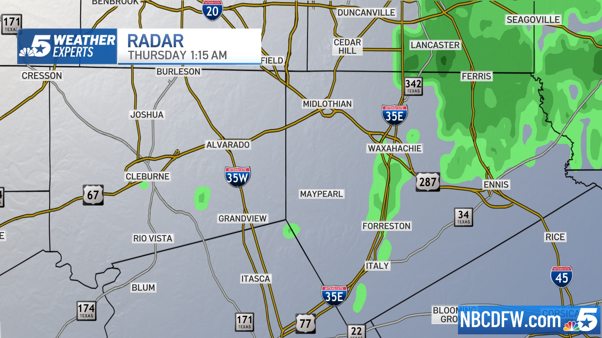 Ellis, Johnson Co. | 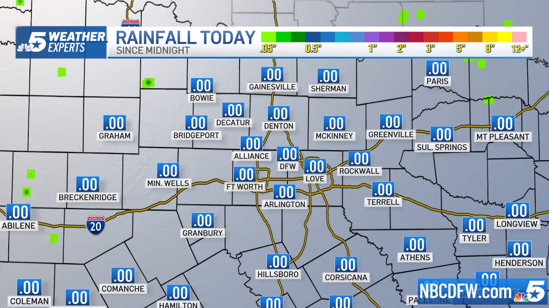 Rainfall Totals |


