S Band Radar & Maps | Forecast | Weather Alerts
Traffic | Send Us a Photo/Video | Live Cams
Many locations across North Texas are receiving the most rain they've seen in a 24-hour period since June 24.
Back on that date over three inches fell in a 24-hour period. The last time DFW had over an inch of rain was in late October (1.22”).
Above is a look at some of the preliminary rain totals, as of 4 p.m. Tuesday. With a little more rain expected Tuesday afternoon, the numbers may still climb a little.
A vigorous storm system (for December) is triggering this heavy rain. The main center is out near Abilene right now. As it approaches, additional thunderstorms will develop. Some storms may be strong enough to produce hail, especially to the east and southeast of Dallas late this afternoon and evening.
Dry and milder weather will return Wednesday and Thursday.
Get the latest forecast information from NBC 5's team of Weather Experts here.
 Interactive Radar |  NBC 5 S-Band |  Dallas County |  Tarrant County |
 Collin County |  Denton County |  Ellis, Johnson Co. | 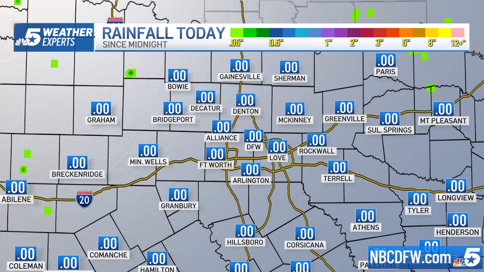 Rainfall Totals |

