S Band Radar & Maps | Forecast | Weather Alerts
Traffic | Send Us a Photo/Video | Live Cams
The current weather pattern continues to keep the storm clouds away from North Texas. This unusual pattern has kept the jet stream (storm track) well to the north.
Normally, we would be concerned with dry weather this time of year. After all, we count on rain in May. It’s typically the wettest month of the year, averaging 4.9” at D/FW International Airport historically.
Fortunately, we received some good rain earlier this month. May 3 and 4 brought a two-day total of 1.37” to D/FW Airport. It’s been bone dry since then, however, and before that April was very dry (2.3” below normal).
Even with these significant “dry stretches,” North Texas is still in good shape for the year. This can likely be attributed to a very wet February – the wettest on record.
Unfortunately, the situation is much worse in West Texas and the Texas Panhandle. That part of the state missed out on the beneficial rain earlier this year.
The Drought Monitor released May 10 shows an “exceptional drought” continuing in these regions. Only isolated thunderstorms are expected in the panhandle over the next several days. Thus, no significant drought relief is expected anytime soon.
Local
The latest news from around North Texas.
ONLINE: United States Drought Monitor
Get the latest forecast information from NBC 5's team of Weather Experts here.
 Interactive Radar |  NBC 5 S-Band |  Dallas County |  Tarrant County |
 Collin County |  Denton County | 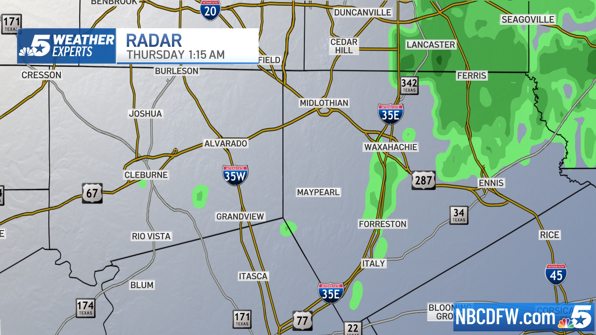 Ellis, Johnson Co. | 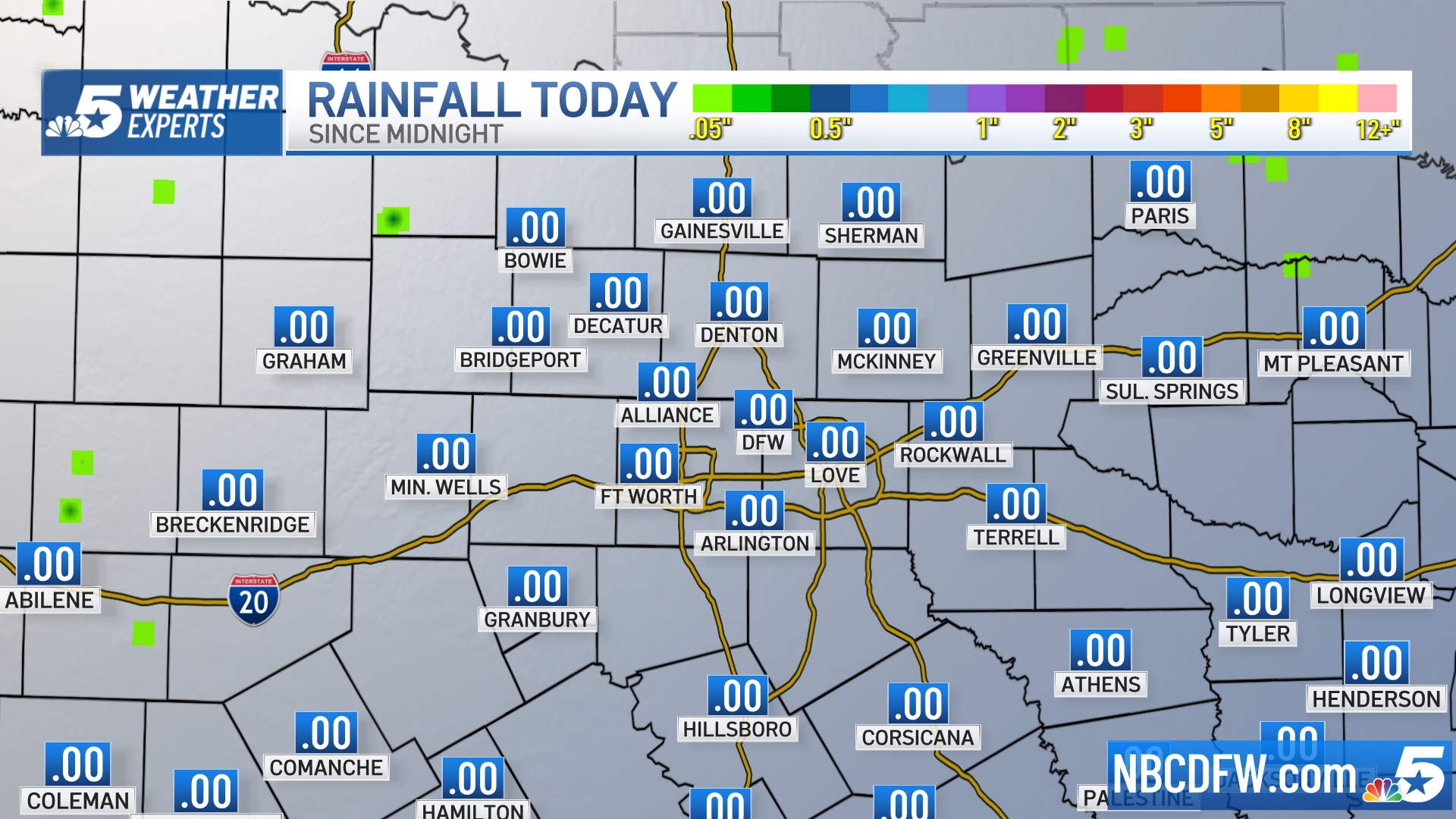 Rainfall Totals |


