

The storm that brought a Winter Storm Warning and Ice Storm Warning to North Texas this week has moved on to the east and has been replaced with sunshine and milder weather that is melting the ice and thawing roads.
Bridges and overpasses remained slushy Friday and any moisture left on the roads after dusk could refreeze overnight leaving slick spots on the roads into Saturday morning.
With fog forecast for Saturday morning and temperatures below freezing, there is the potential for freezing fog to create a few more slick spots on the roads on Saturday.
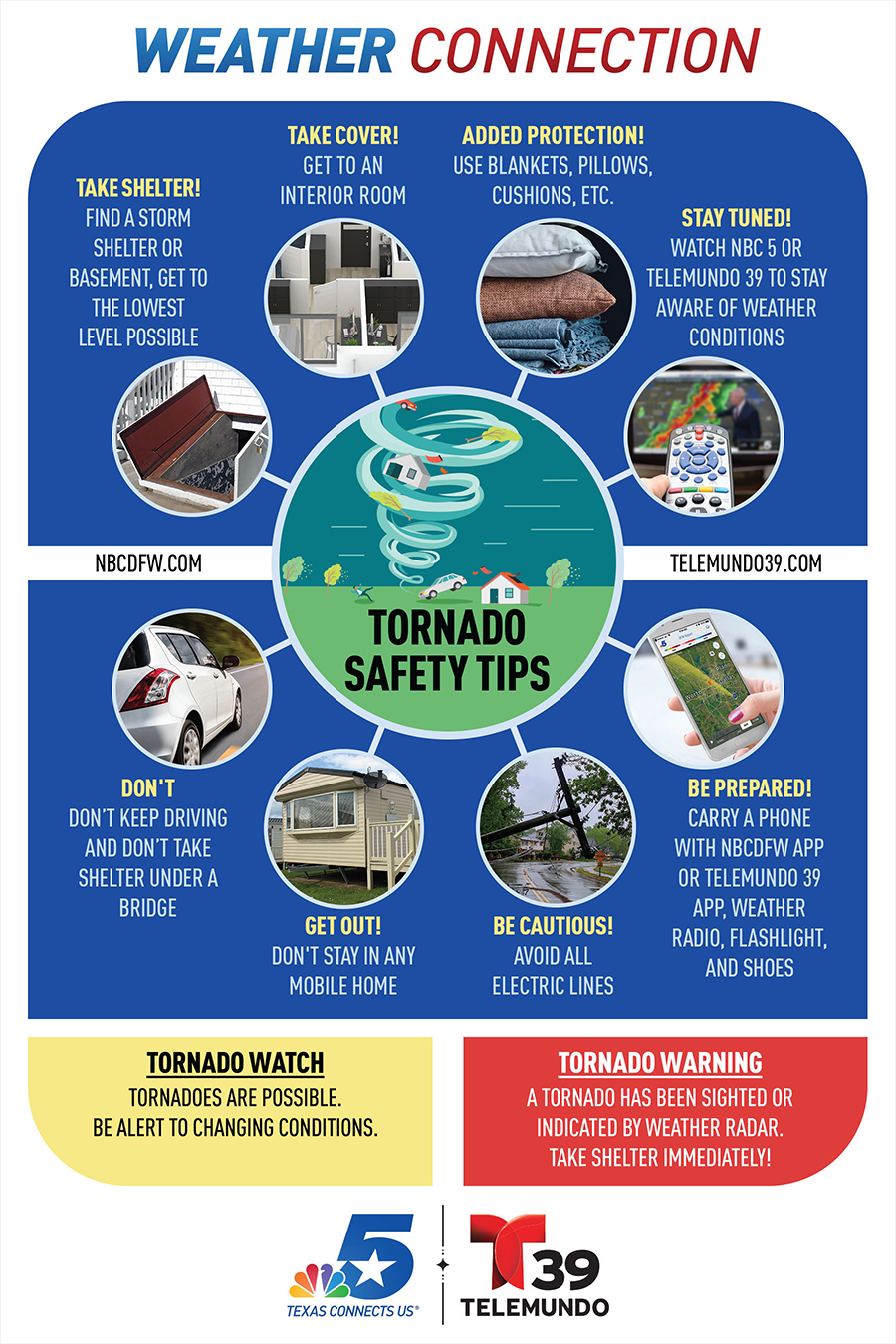
Drivers on the road should be aware of the potential for black ice. Drivers who get on the roads are encouraged to slow down and use extreme caution, particularly when approaching bridges and overpasses. Keep a blanket, flashlight, food and water in your vehicle in case of an emergency.
Get DFW local news, weather forecasts and entertainment stories to your inbox. Sign up for NBC DFW newsletters.
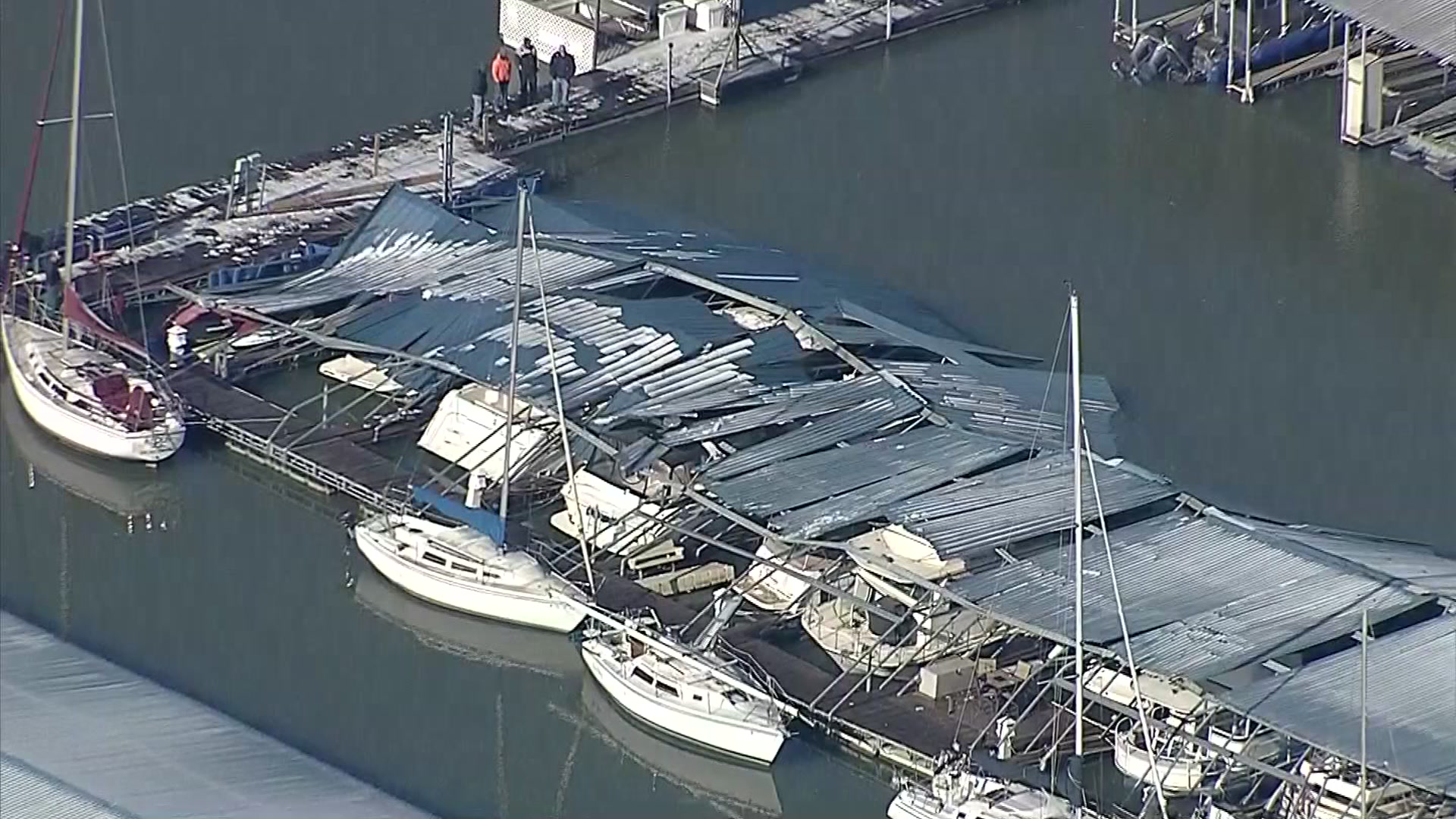
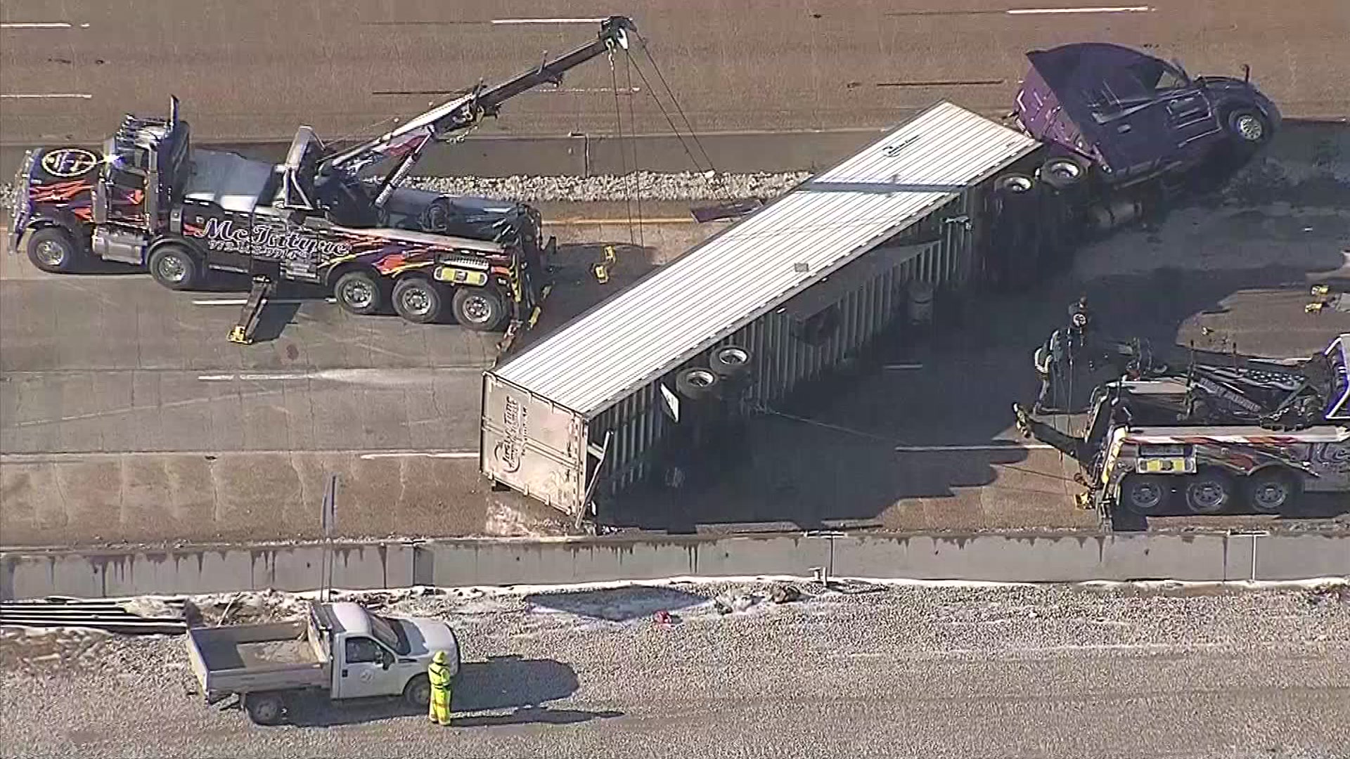
Throughout the winter storm, power outages and tree damage were areas of concern due to ice accumulation. The NWS said a half-inch of ice accumulation is significant and can lead to tree branches snapping off into power lines, cutting power.
Most of the ice, if not all of it, should melt Friday afternoon as sunshine and milder weather return. Highs will be in the mid-40s. High temperatures are expected to climb into the 50s and 60s by late in the weekend.
To best prepare for possible power outages, mobile phones should be kept charged and everyone should stay aware of changing weather conditions (download NBCDFW's free app here). Keep blankets and flashlights nearby and bring all pets indoors.
WINTER WEATHER
CONTINUING WEATHER COVERAGE
Stay up to date with the latest weather forecast from NBC 5's team of Weather Experts by clicking here or by watching the video below.
Be prepared for your day and week ahead. Sign up for our weather newsletter.
