S Band Radar & Maps | Forecast | Weather Alerts
Traffic | Send Us a Photo/Video | Live Cams
No hurricanes have been active in the Atlantic Basin since July 12, but September is the peak month for Atlantic hurricanes, and right on cue, the Atlantic is getting busy.
The next tropical storm is expected to develop off the West African coast by Saturday. This could bring rain and wind to the Cabo Verde Islands by early next week.
Although not a big threat, we are also keeping an eye on a tropical wave in the Caribbean headed for the Gulf of Mexico early next week. There’s a low chance of development, but either way, locally heavy rain will be likely along the Gulf Coast, including Florida.
In North Texas, storm potential will increase on Sunday and will likely continue into next week.
Easterly disturbances will bring tropical moisture and storm coverage to Central and East Texas. Heavy rain could be a threat in those areas by next week. Stay tuned for updates.
Get the latest forecast information from NBC 5's team of Weather Experts here.
Local
The latest news from around North Texas.
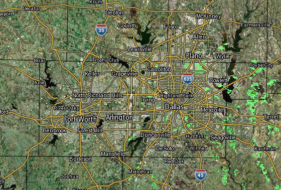 Interactive Radar |  NBC 5 S-Band |  Dallas County |  Tarrant County |
 Collin County |  Denton County | 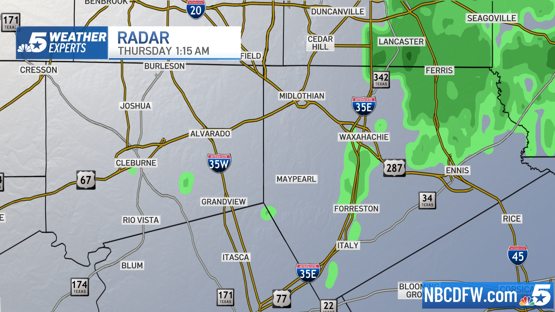 Ellis, Johnson Co. | 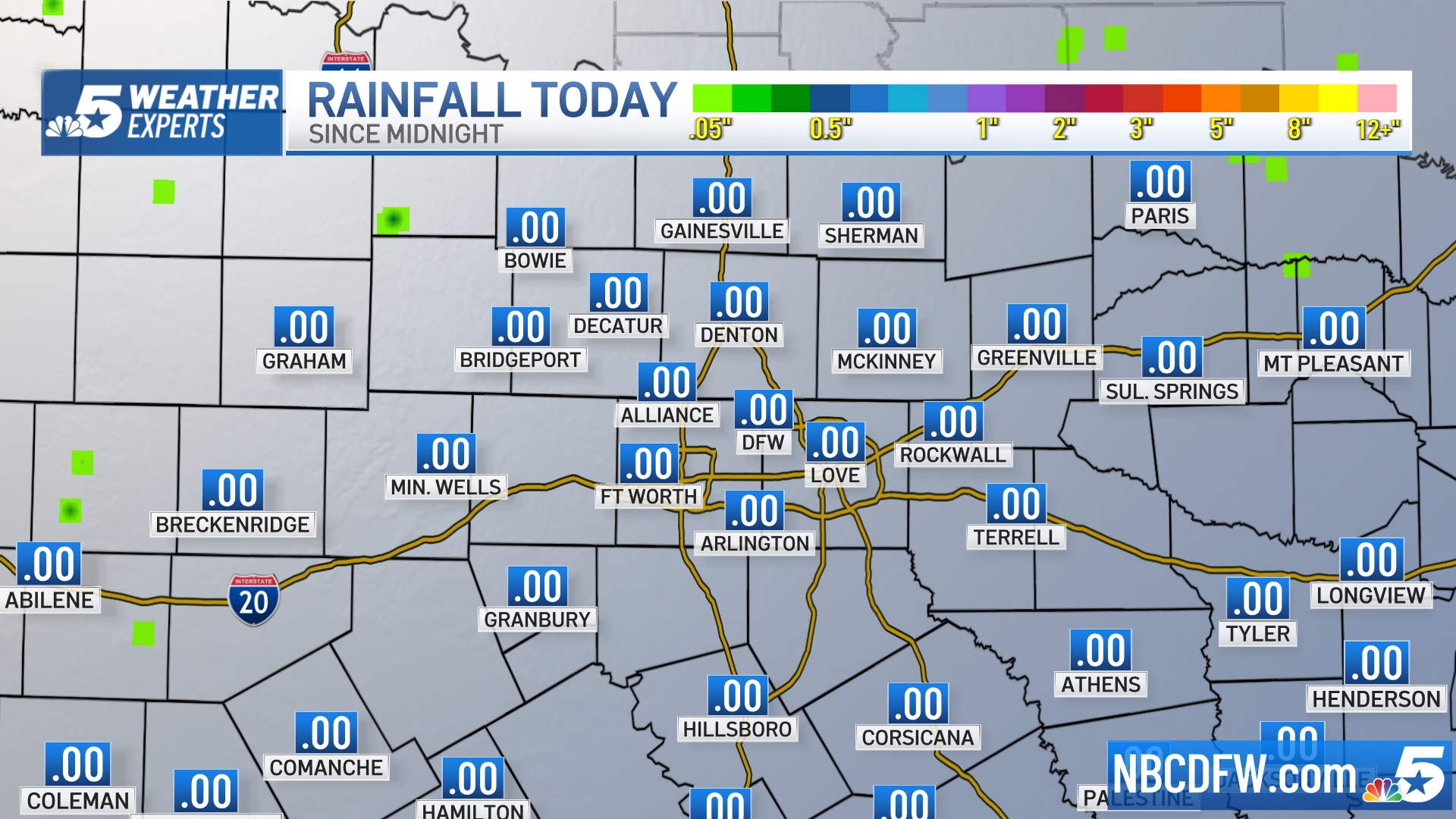 Rainfall Totals |


