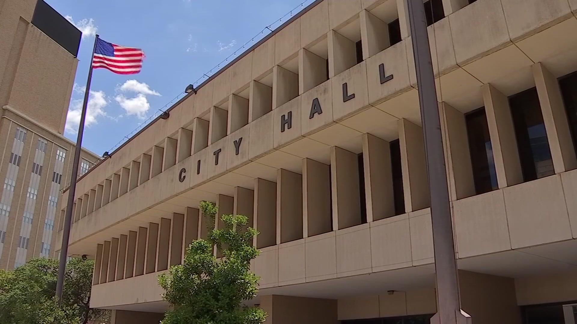
A storm survey team with the National Weather Service confirms Thursday two weak tornadoes touched down in Krum and Saginaw Wednesday.
The survey team said the tornado in Krum was an EF-0 with a maximum wind speed of 75 mph while the Saginaw twister, also an EF-0, had winds up to 80 mph.
Most of the damage in Krum, the NWS said, was restricted to trees.
In Saginaw, the NWS said the tornado initially formed near the Villages of Eagle Mountain neighborhood where it pulled bricks from the facade of one home. The tornado tracked east from there between Bailey Boswell Road and WJ Boaz Road, where mostly tree damage was found. The tornado moved over to North Saginaw Boulevard where several business signs were damaged and power poles were built. It continued to move east before dissipating.
Earlier in the morning, NWS survey teams confirmed a brief EF-1 tornado touched down in North Fort Worth, where severe winds caused roof damage in the Heritage Trace area. The National Weather Service said the tornado left a path of damage reaching about a half mile with maximum winds of about 90 mph.
The tornadoes were part of a larger outbreak of twisters that swept through parts of northern and eastern Texas Wednesday, leaving scattered reports of damage but only one minor injury.
The National Weather Service said in a statement that strong low-level instability allowed some of the thunderstorms to become severe and that it has received numerous reports of wind damage, hail and a few tornadoes.
Local
The latest news from around North Texas.
The weather service said crews would continue surveying areas of damage on Thursday before providing official confirmation on tornadoes and wind speeds.
Twisters were reported near Rockwall, Greenville and Canton between 2:30 p.m. and 5:30 p.m. Wednesday. Dozens of funnel clouds that didn't reach the ground were also sighted, with many people sharing their storm pictures to NBC 5 through iSee@nbcdfw.com.
On the northern shore of Cedar Creek Reservoir, about 50 miles southwest of Dallas, a reported tornado caused significant damage in a lakeside subdivision. Steve Howie, emergency management coordinator for Kaufman County, said one person suffered minor injuries in the Cedar Creek Country Club subdivision. He also said many downed trees are making roads impassable in the area.
In Canton, about 55 miles east of Dallas, a tornado caused major damage to the exterior of a gas station and convenience store. The Texas Thunder Truck intercepted the twister as it crossed Texas Highway 19, just moments after it swept through the central core of the town.
Pictures of Funnel Clouds on May 29, 2019
Storm Damage Photos - May 29, 2019
The latest video forecast from NBC DFW's team of Weather Experts will appear in the player above. Keep up with the latest changes to the weather by downloading the NBC DFW smartphone App for iOS and Android!
Read the latest forecast information from NBC 5's team of Weather Experts here.
- Stay Connected. Download the NBC DFW App
- Set your push alert preferences.
- Charge your phones and tablets so that if you lose power you can still watch live weather coverage in the App.
| Stay Safe During a Hail Storm At Home?
Outdoors?
Driving?
|


