S Band Radar & Maps | Forecast | Weather Alerts
Traffic | Send Us a Photo/Video | Live Cams
A tropical weather system was expected Wednesday to develop into a storm that could push the already swollen Mississippi River precariously close to the tops of levees that protect New Orleans.
Conditions over the warm Gulf waters are expected to aid tropical cyclone development over the next several days, and a tropical depression is likely to form by late Wednesday or Thursday.
At this time the National Hurricane Center puts the chance of a Tropical Depression forming at 70 to 80 percent.
An Air Force Hurricane Hunter aircraft is scheduled to investigate the low on Wednesday.
As the disturbance moves slowly westward across the northern Gulf of Mexico, it will have the potential to produce heavy rainfall from the Upper Texas Coast to the Florida Panhandle during the next several days. In addition, this system may produce wind and storm surge impacts by the weekend, with the primary concern being across Louisiana.
Forecasters say parts of Louisiana could see up to 12 inches of rain by Monday, with heavier amounts possible in some spots.
Local
The latest news from around North Texas.
If it eventually strengthens enough to become a Tropical Storm, it would be given the name Barry.
The current projections are that the heaviest rain will fall across Louisiana, with North Texas seeing little rain from the storm system. But keep close watch on the forecast throughout the week. If the storm tracks farther to the west, then DFW could see more rain.
The latest video forecast from NBC DFW's team of Weather Experts will appear in the player above. Keep up with the latest changes to the weather by downloading the NBC DFW smartphone App for iOS and Android!
Read the latest forecast information from NBC 5's team of Weather Experts here.
- Stay Connected. Download the NBC DFW App
- Set your push alert preferences.
- Charge your phones and tablets so that if you lose power you can still watch live weather coverage in the App.
| Stay Safe During a Hail Storm At Home?
Outdoors?
Driving?
|
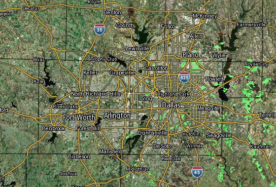 Interactive Radar |  NBC 5 S-Band |  Dallas County |  Tarrant County |
 Collin County | 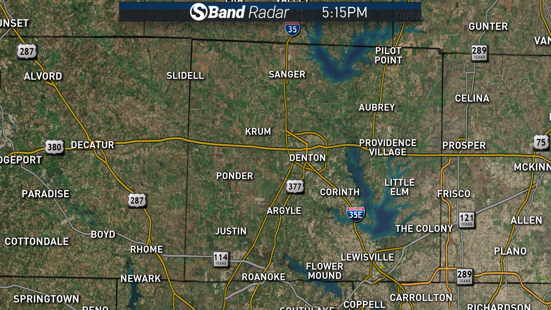 Denton County | 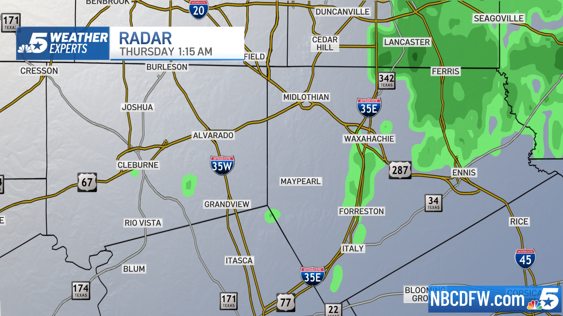 Ellis, Johnson Co. | 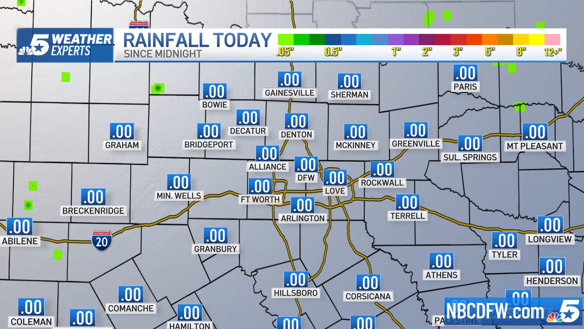 Rainfall Totals |


