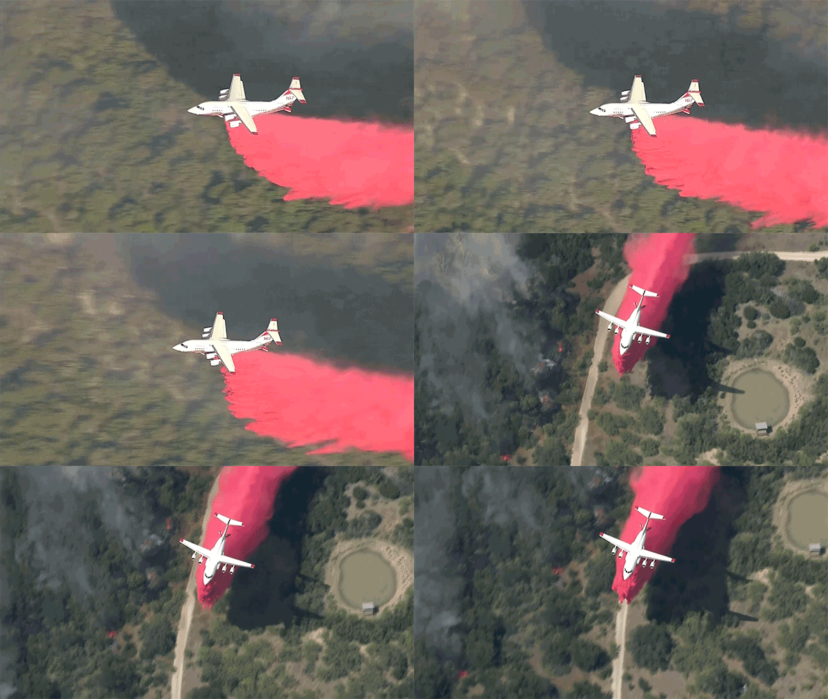
As warm and dry conditions spread across the state, the Texas A&M Forest Service is raising the preparedness level to Level 2 due to the threat of increased wildfire activity.
The forest service said, "preparedness levels are planning assumptions that are dictated by fuel and weather conditions, current and expected wildfire activity and suppression resource availability."
Wes Moorehead, Texas A&M Forest Service Fire Chief, said they are mobilizing resources in areas of concern and they are monitoring conditions to ensure a quick and effective response to any call for help.
The forest service said wind speeds mixed with dry vegetation and dormant grasses may provide fuel for wildfires as storms move in from the west.
Get DFW local news, weather forecasts and entertainment stories to your inbox. Sign up for NBC DFW newsletters.
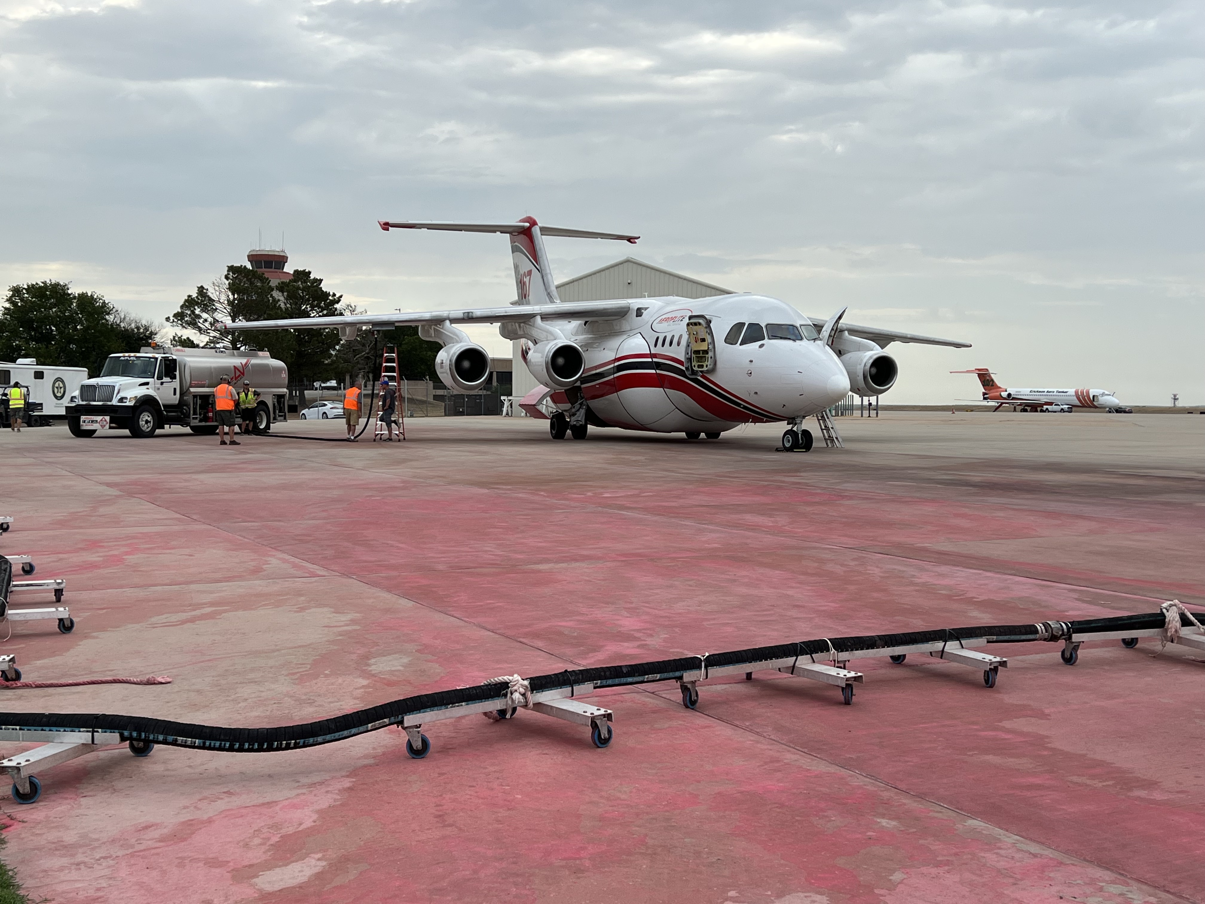
To further prepare, the forest service is opening the Abilene Airtanker Base as well as single-engine air tanker bases in Alpine and Alice. Five strike teams are also positioned across areas of concern to speed response times.
"Texas A&M Forest Service relies on aviation resources during periods of high fire activity to provide support to ground crews and assist in protecting homes as well as other critical infrastructure," said Moorehead. "Suppression aircraft can respond quickly, increasing the likelihood that a new ignition remains a small, manageable wildfire."
On Sunday, the Solar Park Fire broke out near Fort Davis in Jeff Davis County in West Texas and quickly became established in grass and juniper vegetation.
The Solar Park Fire is currently an estimated 2,800 acres and 10% contained, is burning in complex, rugged terrain.
State and local firefighters have responded to 444 wildfires that have burned 12,845 acres this year.
Stay wildfire aware. If a wildfire is spotted, immediately contact local authorities. A quick response can help save lives and property.
TEXAS WILDFIRE MAPS


