Several Flash Flood Warnings, Watches and Advisories has been issued for North Texas through early Sunday morning. Click here for specific county-based information.
Showers and thunderstorms rolled through North Texas overnight Thursday, bringing dangerous floodwaters Friday morning.
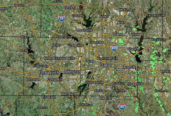 Interactive Radar |  NBC 5 S-Band |  Dallas County |  Tarrant County |
 Collin County |  Denton County | 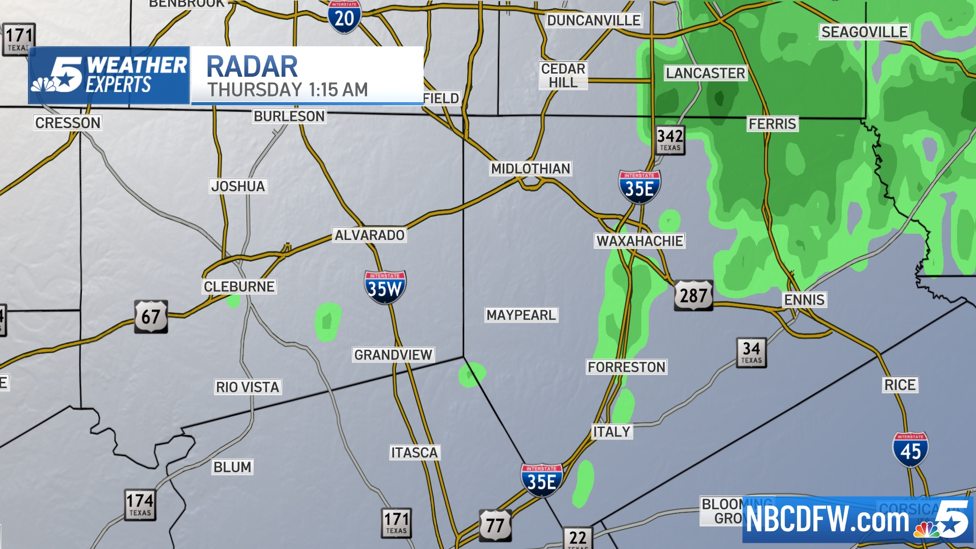 Ellis, Johnson Co. | 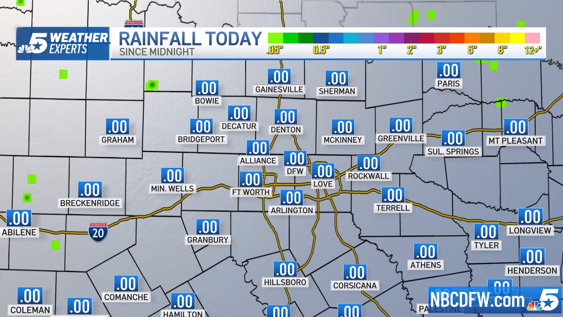 Rainfall Totals |
S Band Radar & Maps | Forecast | Weather Alerts
Traffic | Send Us a Photo/Video | Live Cams
Sporadic heavy rain remains in the area through Saturday with the potential for flash flooding. Up to 6 inches of rain is possible in some areas.
A Tarrant County Sheriff's deputy was rescued after being swept away while trying to help a stranded motorist.
Jamie Moore with the Johnson County Emergency Management office said swift water rescue teams performed 16 rescues from 11:40 p.m. Thursday to 3:15 a.m. with several more rescues still active.
Johnson County Sheriff's deputies said they're searching for a woman who was swept away near Joshua at about 3 a.m.
High water also forced the closure of several North Texas roads, including Farm-to-Market Road 2499 in Flower Mound and an area near Campbell and Brand roads in Garland.
Friday's rainfall made 2015 the wettest year in history, breaking the old annual record of 53.54 inches.
Local
The latest news from around North Texas.


