S Band Radar & Maps | Forecast | Weather Alerts
Traffic | Send Us a Photo/Video | Live Cams
It's time to turn the page on a new month! As April begins, we typically see lows in the lower 50s and highs in the lower 70s. By the end of the month, normal low temperatures rise to the upper 50s and highs go up to 80 degrees. From the beginning of the month to the end, we gain 55 minutes of daylight too.
In April, we usually see a little more than 3 inches of rain… though there have been four instances in the record books where a trace of snow has taken place in April. April is much more known for an increase in frequency of severe thunderstorms. Since 1950, 495 tornadoes have taken place in April in North and Central Texas. That's an average of seven tornadoes each April.
In case you're wondering, the warmest temperature ever recorded in April is 101 degrees -- on April 17, 2006. The coldest temperature in April was 29 degrees on April 11, 1989. The wettest April in the record books was 1922, with 17.64 inches of rain. April of 1987 went down in the books as the driest April on record, with only 0.11 inches of rain.
The latest video forecast from NBC DFW team of Weather Experts will appear in the player above. Keep up with the latest changes to the weather by downloading the NBC DFW smartphone App for iOS and Android!
Get the latest forecast information from NBC 5's team of Weather Experts here.
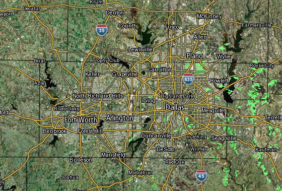 Interactive Radar |  NBC 5 S-Band |  Dallas County |  Tarrant County |
 Collin County | 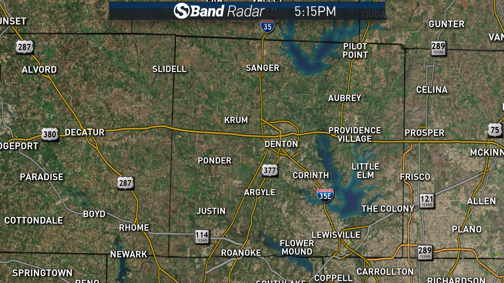 Denton County | 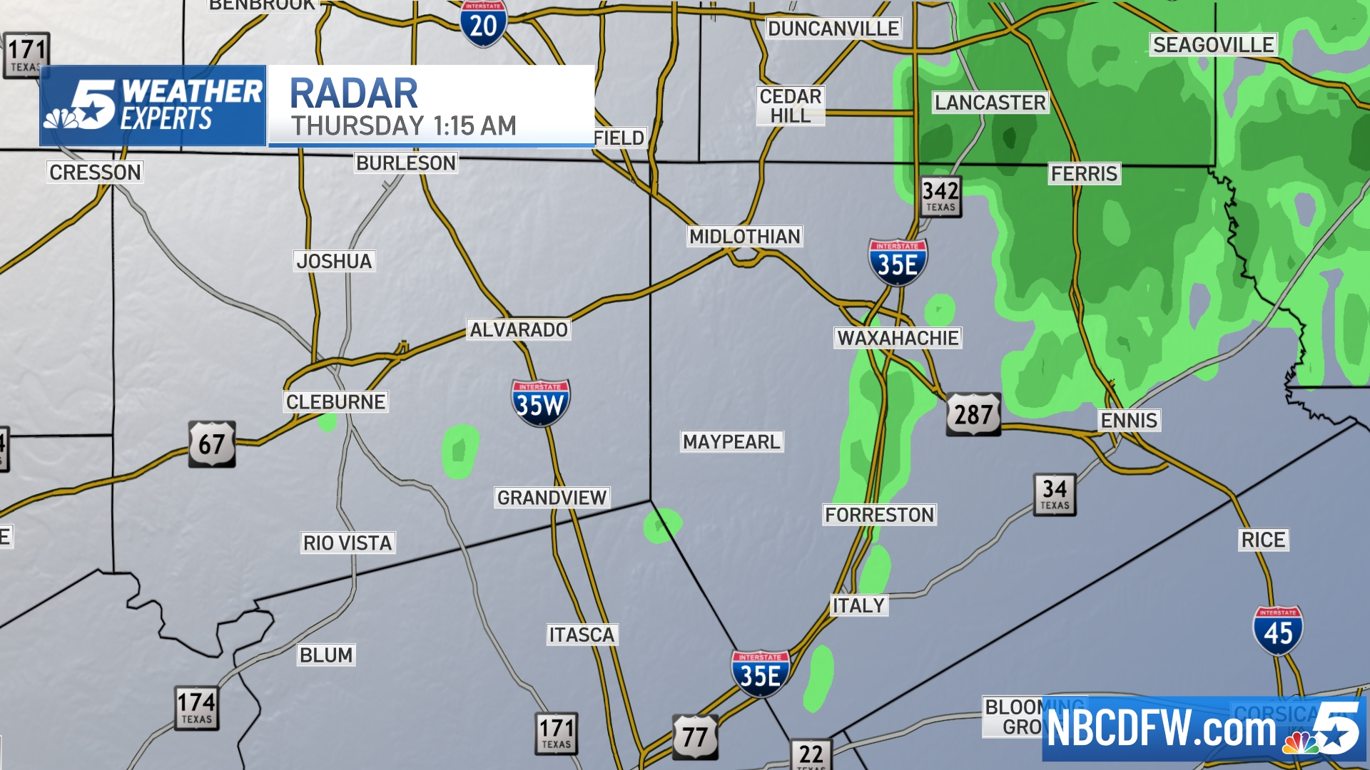 Ellis, Johnson Co. | 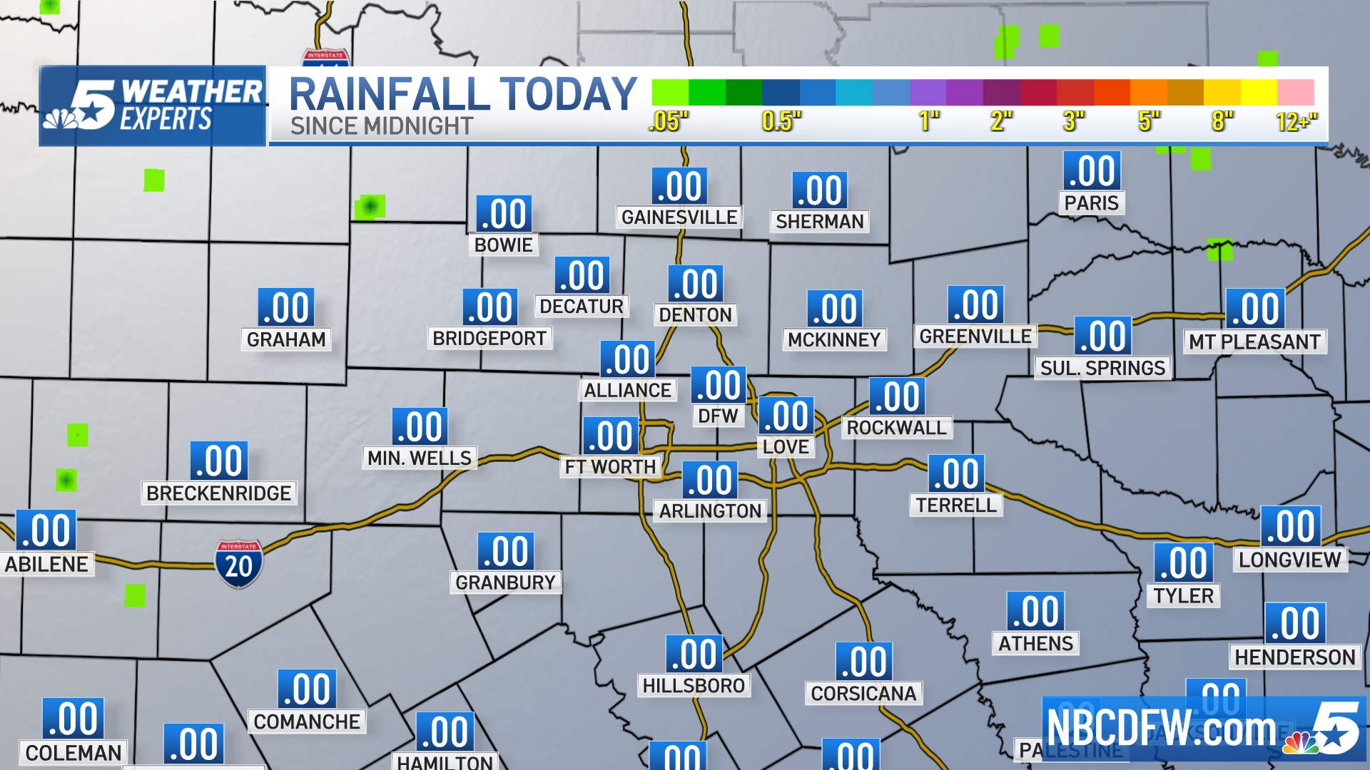 Rainfall Totals |

