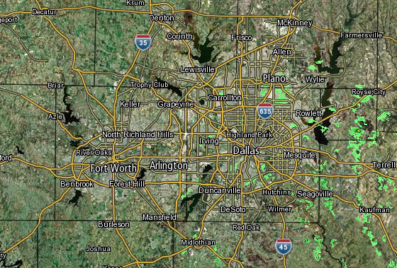
 Interactive Radar |  NBC 5 S-Band |  Dallas County |  Tarrant County |
 Collin County |  Denton County | 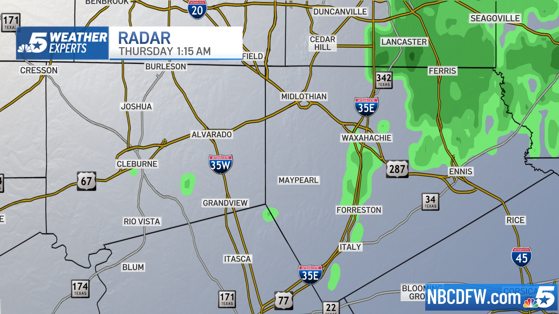 Ellis, Johnson Co. | 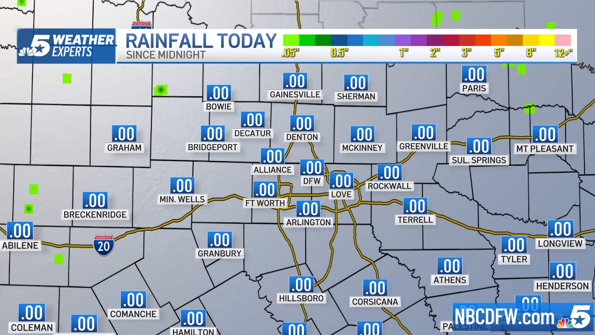 Rainfall Totals |
S Band Radar & Maps | Forecast | Weather Alerts
Traffic | Send Us a Photo/Video | Live Cams
A Flood Watch is in effect through Saturday afternoon for DFW and counties to the north and east.
More widespread thunderstorms are likely Saturday morning, some of which may be severe with hail and gusty winds. Some of the hail may be larger than quarters. Additional rainfall accumulations of one to three inches can be expected through the morning, with locally higher amounts possible. The ground in North Texas is saturated, and any additional rain will result in runoff and localized flooding.
The storms will move east of Dallas Saturday afternoon. The risk of severe weather will remain in East Texas until late afternoon. Dry and pleasant weather is expected Sunday and Monday.
Photos: North Texas Ice Storm, Feb. 21
Get the latest forecast information from NBC 5's team of Weather Experts here.
The latest video forecast from NBC DFW's team of Weather Experts will appear in the player above. Keep up with the latest changes to the weather by downloading the NBC DFW smartphone App for iOS and Android!
Above: A view of Fort Worth from The Stayton at Museum Way. Below, Dallas from Lake Cliff Tower.
Check back and refresh this page for the latest update. As this story is developing, elements may change.

