A line intense thunderstorms moved through North Texas early Thursday, bringing heavy rain, high wind and lightning.
The storm moved east into the area at about 2 a.m., landing in Fort Worth at about 3 a.m. By 5:30 a.m., the strongest storms had passed through the area.
Flooding and high water were reported in several areas and the National Weather Service issued a Flood Warning for most of North Texas until Friday.
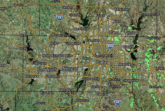 Interactive Radar | 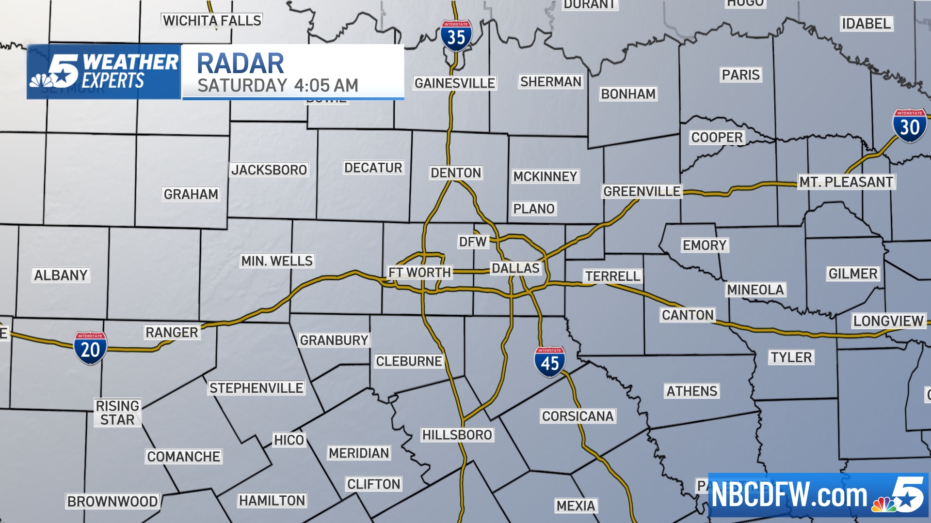 NBC 5 S-Band | 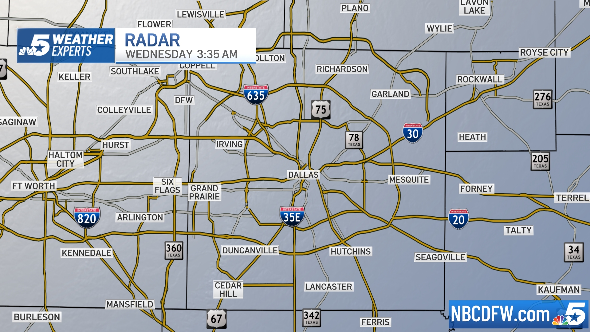 Dallas County |  Tarrant County |
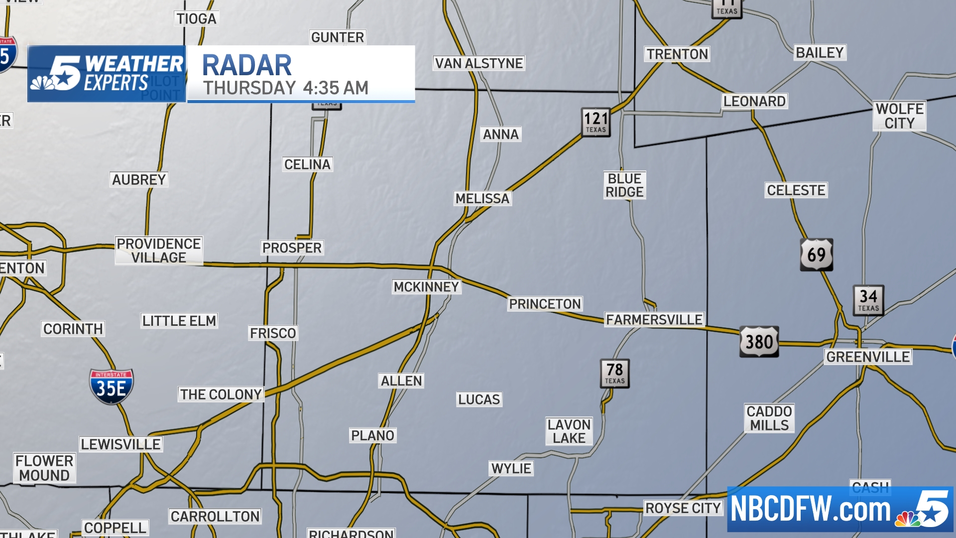 Collin County |  Denton County | 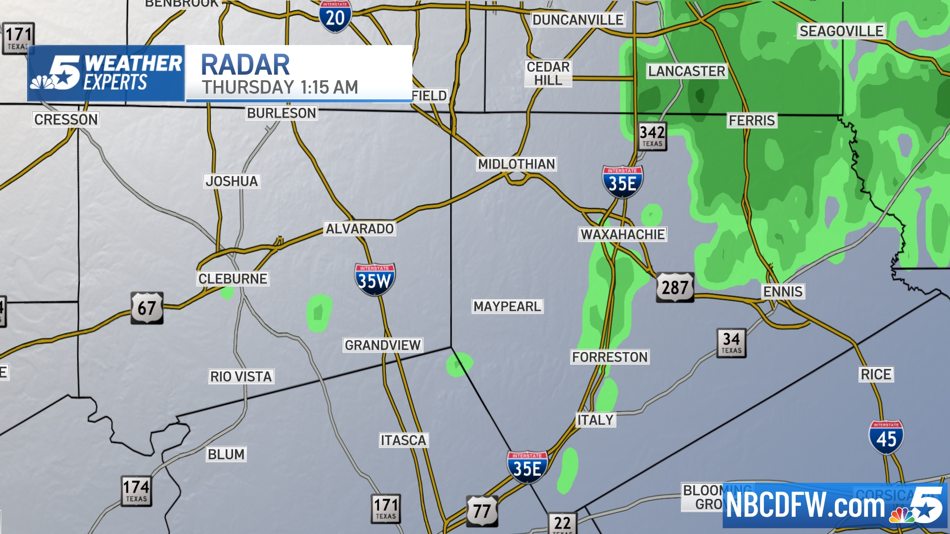 Ellis, Johnson Co. | 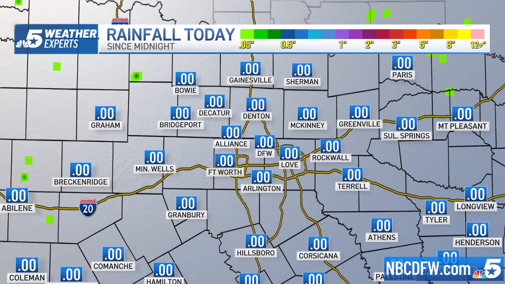 Rainfall Totals |
Despite the overnight storms, Johnson County Emergency Management officials said there were no new road closures due to rain. As of late Wednesday night, 16 roads were still closed due to high water. Officials also said they only had one high-water rescue all week.
Oncor reported 336 Dallas County customers and 482 Tarrant County customers without power as of 8 a.m.
Thursday morning's storm should be the last batch in the area until Sunday night, according to NBC 5 Chief Meteorologist David Finfrock.
Whenever active weather moves into DFW, you can keep up with it by downloading the NBC DFW APP!
Local
The latest news from around North Texas.
S Band Radar & Maps | Forecast | Weather Alerts
Traffic | Send Us a Photo/Video | Live Cams


